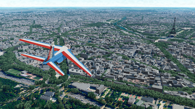
Ever since the migration from Google Earth to Cesium, buildings have been dearly missed in GeoFS and this was one of the most requested features. Starting this year with version 3.5, the GeoFS world is now populated with over 500 million buildings generated from OpenStreetMap data. Oh, and a couple billion trees have been planted too, just to add a bit of green.
Buildings (and trees) in GeoFS are still experimental features and need to be enabled in the Option > Graphics settings panel.
What sort of coverage/quality can be expected?
The coverage is worldwide but OSM data can be missing in some areas.

GeoFS buildings are generated using in-house tools that may (or may not) do a correct job at estimating and extrapolating missing data and adding height, roofs and textures based on what can be guessed from the metadata. Theses tools are being improved and tweaked and some new data will be regularly pushed to the servers.
And of course, all this has to be easily maintainable, served fast and run at a reasonable frame rate in your browser. A single texture is being used for global buildings which will fall short of variety and have a bit of a generic look to it whether you fly in America, Africa, Europe or Asia. But this has the advantage of being cacheable and much easier to generate, maintain and update!
The 3D models are also heavily compressed which will sometimes lead to some imprecision in building shapes.
Finally, some major landmarks, despite the most creative attempt made by OSM contributors, will never look quite right when extruded from a 2D shape. This is why some of them have been replaced by proper 3D models. i.e Statue of Liberty, Eiffel Tower, Christ the Redeemer, London Eye, etc.
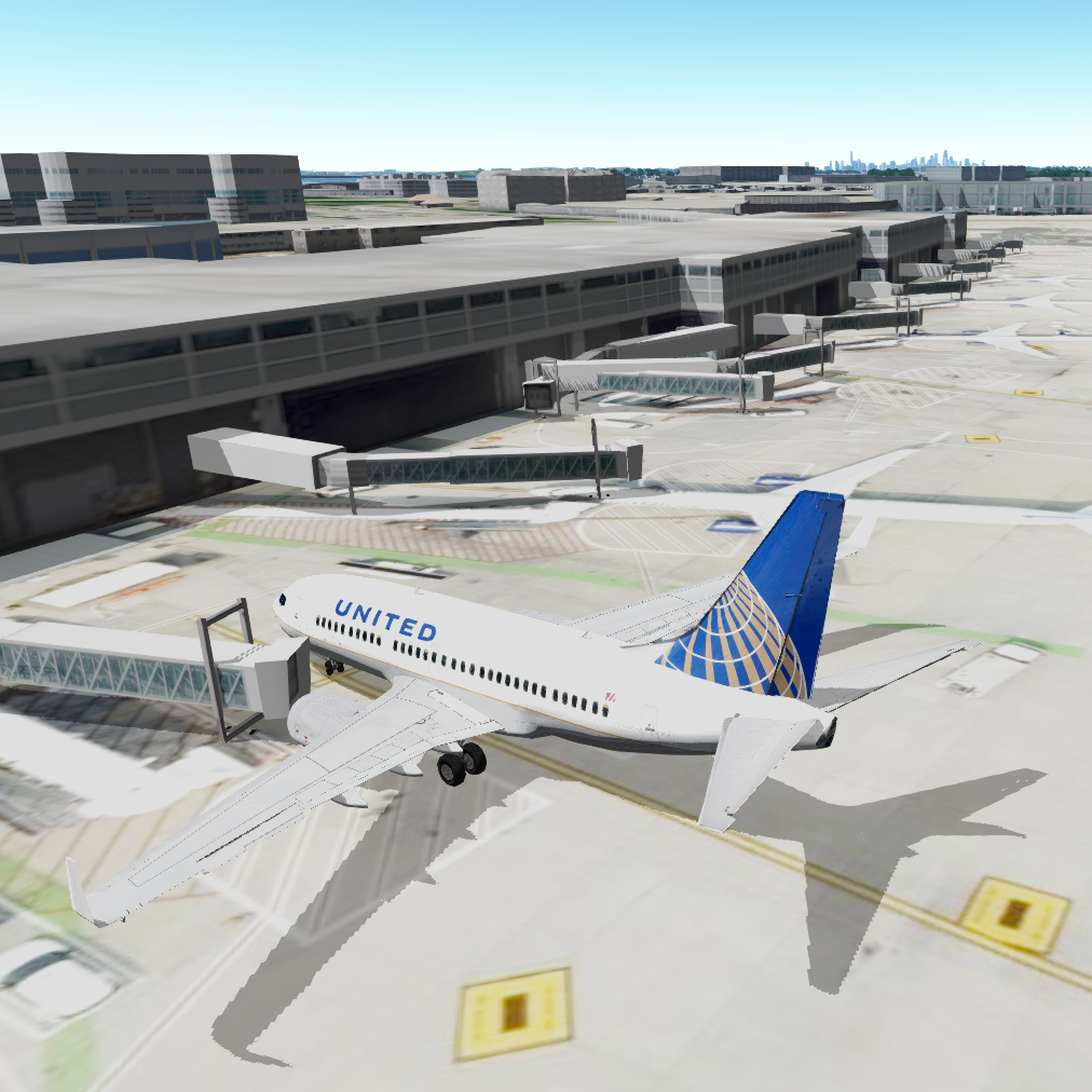
How about Airports?
Is it possible to land (crash...) on the buildings?
No, appart for some specific landmarks (aircraft carrier, Golden Gate Bridge) there is no collision detection with 3D buildings for now. This is something that will be worked on. There is no definite date though.
How to contribute to or fix the data?
OpenStreetMap is a participative application and accept contributions from anyone. However, the process can be complicated and the expected quality standards do require a certain amount of experience with GIS data.
Changes to OSM data will not be reflected right away in GeoFS. Given the current infrastructure being used, it takes about a week and a half to download, import and process a fresh global dataset. There will most likely be several updates a year depending on the evolution of the source data and the improvements made to the generator tool.
And there are so many other things that need to be worked on...
